-
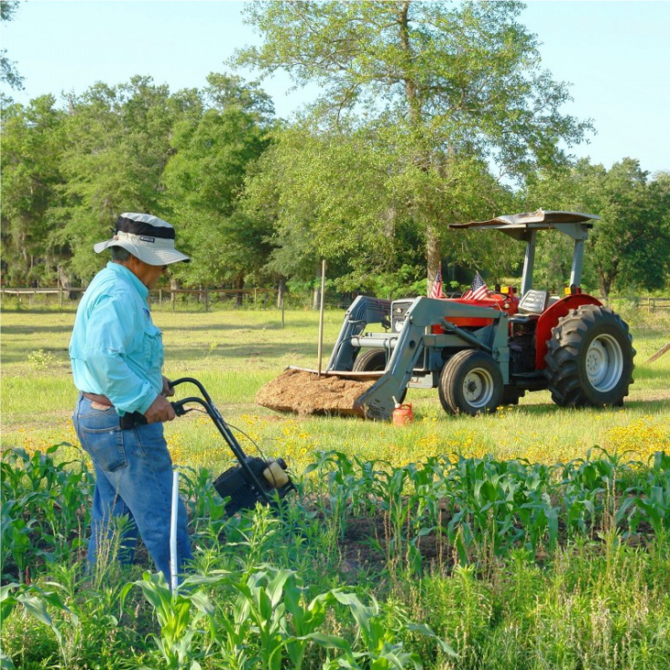 AgrogeophysicsGeophysical support for precision agriculture
 -
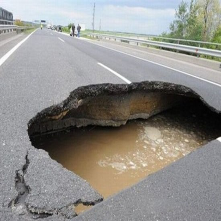
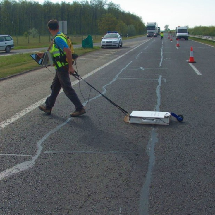 Subgrade surveyingHigh-resolution surveying of road structures
 -
 Dike monitoringNon-destructive surveying of flood-protection dikes and levees
 -
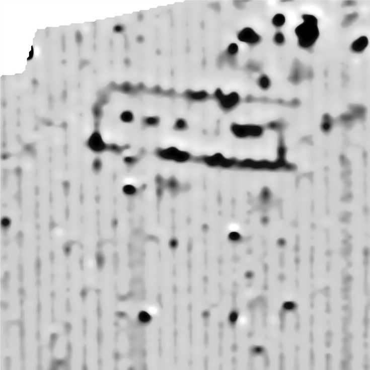
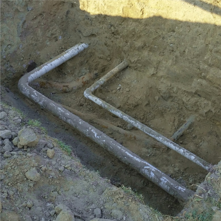 Surveying buried objectsDetecting underground utilities
 -
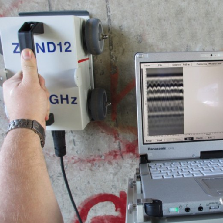 Structural investigationsSurveying of buildings, walls and reinforced-concrete structures
 -
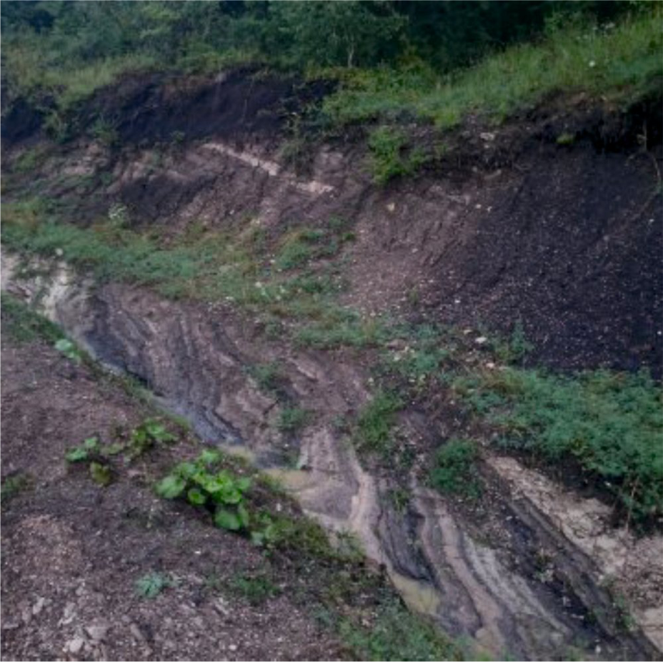 Geological and stratigraphic surveysComplex geological and geophysical investigations
 -
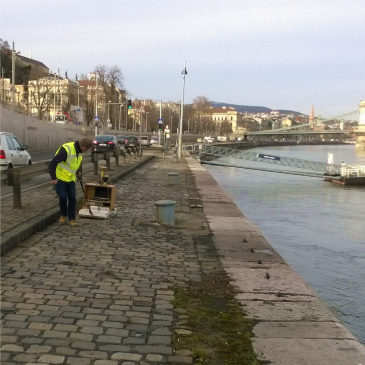
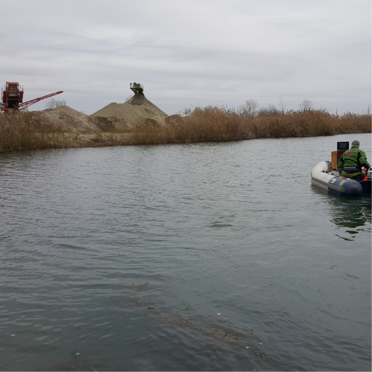
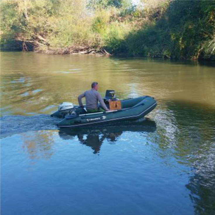 Riverbed surveyingBed and sediment surveying of rivers and lakes
 -
 Archeological geophysicsGeophysical support for archeological sitings
 -
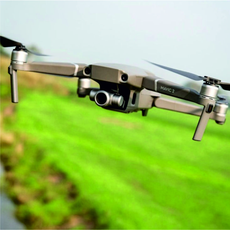 Drone surveyingHigh resolution aerial surveys
 -
 Gravel mine surveyingHigh precision mapping of geological resources
 -
 Cavity detectionDetecting natural and artificial cavities
 -
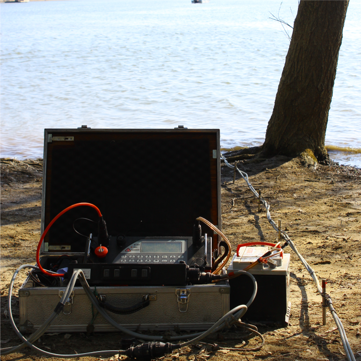 Groundwater explorationGeophysical support for groundwater exploration and hydrological studies