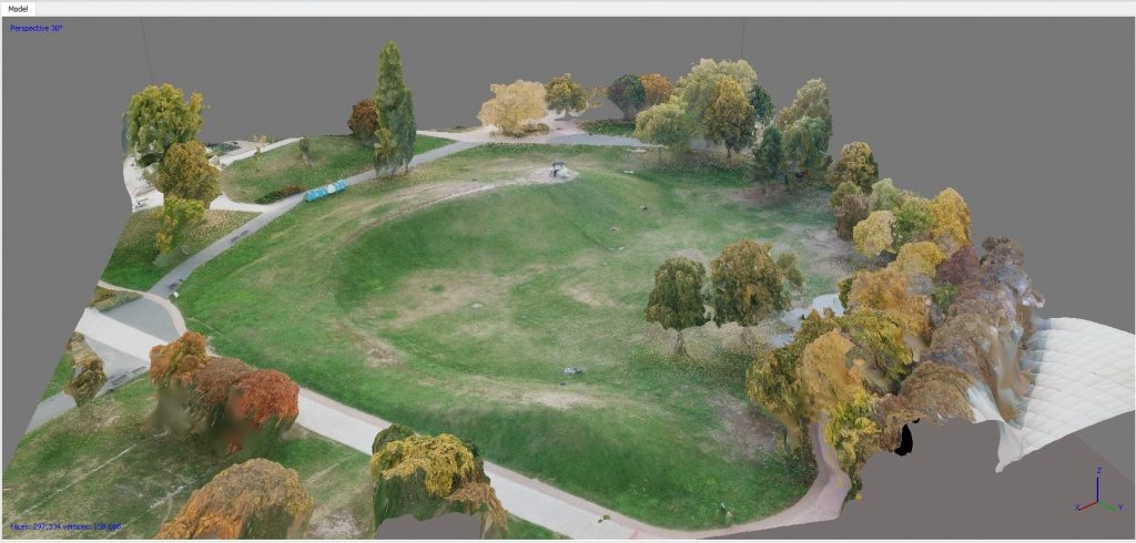
There are a number of engineering geophysical problems where, in addition to the subsurface, high precision understanding of the surface conditions are also very important. In such cases, we conduct a so called drone survey, where a high-resolution topographic survey is taken from the air using a small unmanned aerial vehicle (drone). Whether it’s environment-friendly scout surveying or engineering calculations using high-precision terrain models, drones are opening up new perspectives in engineering and agro-geophysics.
Aerial photos created by our GPS-navigated device equipped with a high-resolution camera system are used to make high-resolution georeferenced orthomosaics and 3D digital terrain models that can be used for surface morphological analysis and accurate volume calculations. Among the most common applications are the detection of otherwise not visible surface morphological elements, volumetric surveying of tailing dumps, waste depos and surface mines with complex topography, as well as surveying of hardly accessible dangerous places.